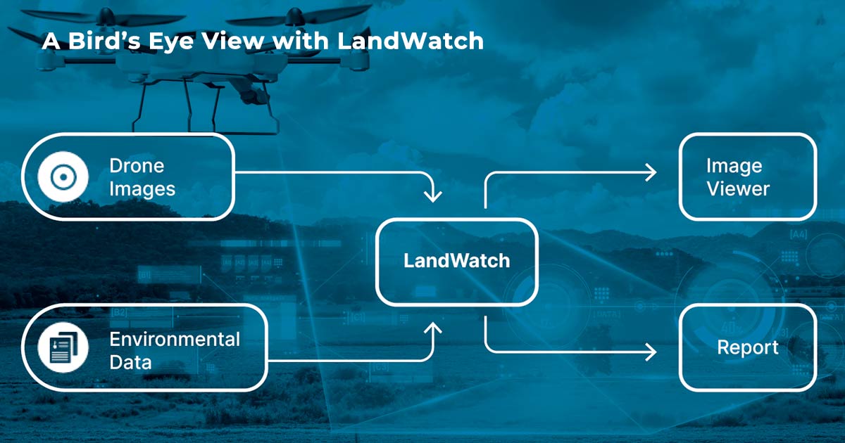
LandWatch Drone Imaging for Industrial Site Change Detection
Industrial Client
Description
Especially as institutional control requirements for annual certifications affected more of their sites, our industrial client needed to submit inspection reports to regulatory agencies or other third parties. Even armed with LandWatch monitoring information, in many cases the inspections needed, or could at least be vastly improved, by visual evidence. Rather than sending field staff to visit and collect photographic evidence of institutional control compliance, our client increasingly turned to our drone imagery offering.
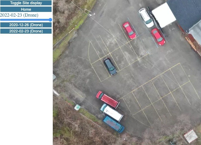
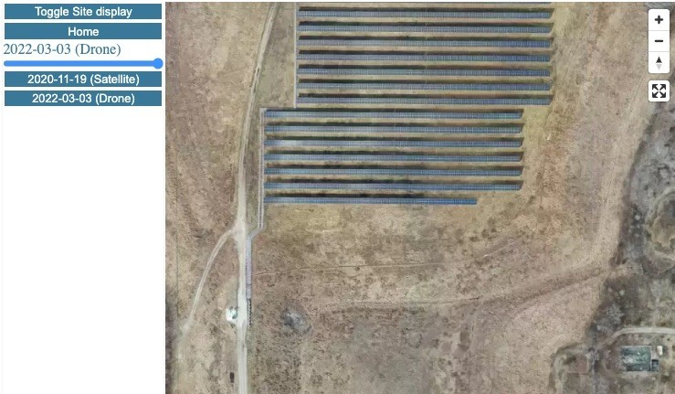
LandWatch View of Asphalt Cap Integrity
This service collected extremely clear imagery at both the beginning and end of the inspection period. And, depending on the site-specific needs, in some cases we went further to marry LandWatch monitoring results and drone imagery evidence into a concise institutional control compliance report.
This innovative solution provides massive advantages over conventional boots-on-the-ground inspections, and marks another huge stride forward for LandWatch. The service avoided labor-intensive site visits, reduced costs, and provided the client with high quality inspections and the added benefit of storing the imagery and inspections details year-over-year within the online LandWatch platform.